Mapping and Visualization
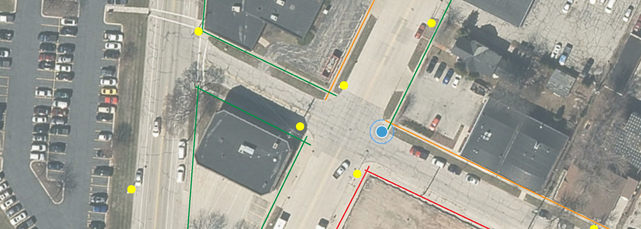
The Commission provides a diversity of GIS data, custom maps, and visualizations such as inventories, online maps, interactive applications, Story Maps, brochures, and graphics. The following are some of the services we assist our member counties and communities with:
Custom Map Design and Printing
Field Collection and Management
Interactive Maps and Applications
For more information on mapping and visualization, please contact:
Natalie Blackert
Phone: (920) 448-2820 ext. 104
Email: nblackert@baylakerpc.org
