Water Trail Planning
What is a Water Trail?
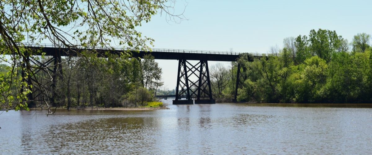
A water trail is a waterway route (a stretch of a river, lake, or ocean shoreline) that has been mapped out, with access points identified, with an intent to create an experience for recreational paddlers. Water trails provide users with location information on legal access points to lakes, rivers, and oceans. Water trails are primarily oriented around non-motorized boating, but also serve other public recreational uses that require access to water (such as fishing, swimming, and sightseeing.
What is a Water Trail Plan?
The delineation and planning of water trails has become increasingly valuable in regions where public access to waterways is being compromised by the pressures of private development. The Commission assists communities in the planning process of creating a water trail plan which includes:
- Inventory of existing and potential access sites
- Integrating with other existing water/land based trails
- Site improvements/enhancements
- Branding and marketing
- Funding opportunities
Recently Completed Plans
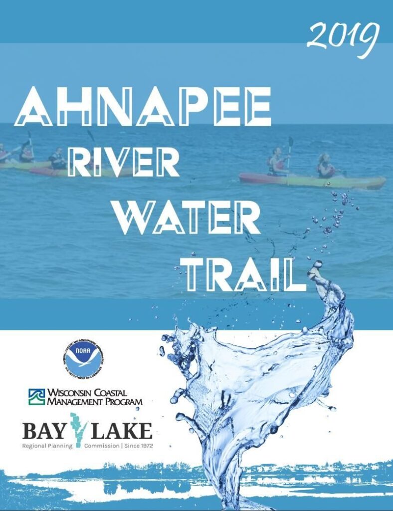
Ahnapee River Water Trail
Plan Document
Interactive Story Map
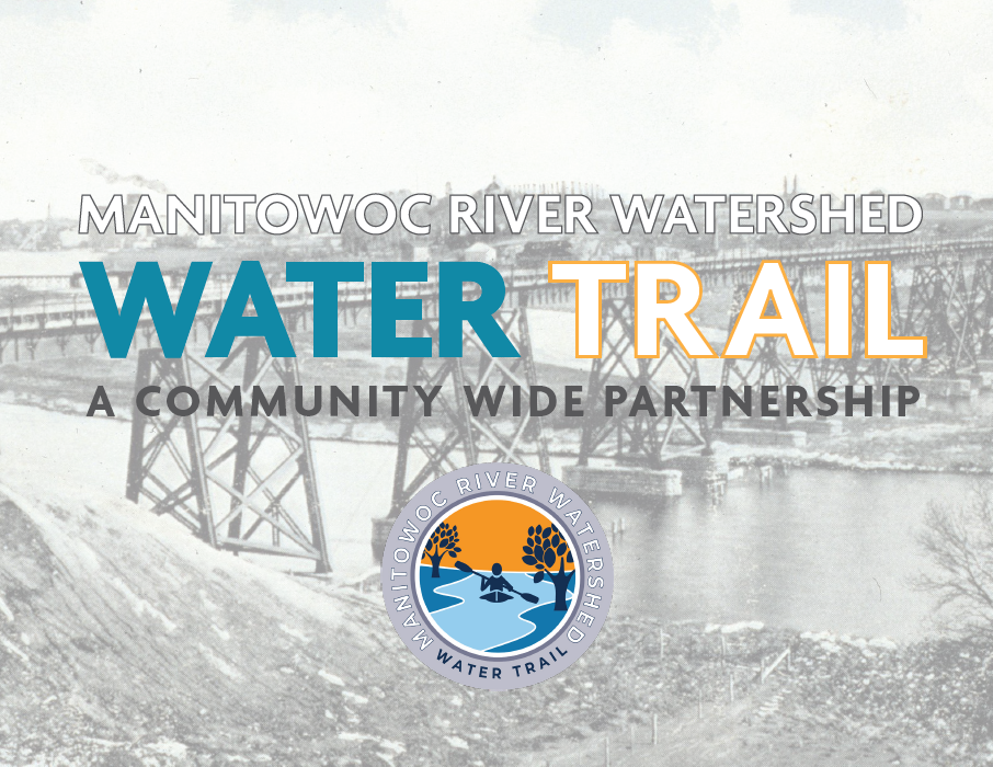
Manitowoc River Watershed Water Trail
Plan Document
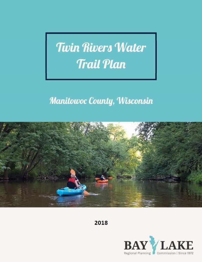
Twin Rivers Water Trail
Plan Document
Interactive Story Map
For more information on water trail planning, please contact:
Lydia Bernhoft, Environmental Planner
Phone: (920) 448-2820, Ext. 106
Email: lbernhoft@baylakerpc.org
Brandon Robinson, Executive Director
Phone: (920) 448-2820, Ext. 105
Email: brobinson@baylakerpc.org

