Interactive Maps and Applications
The Commission utilizes ArcGIS Online as a way to display interactive maps and applications to engage members of the community throughout the planning process. We also work directly with communities throughout the Bay-Lake region to create customized online maps and applications specifically for communities. Click on the gallery of the interactive maps and apps below, or visit BLRPC’s ArcGIS Online Home Page to view some of the Commission’s work.
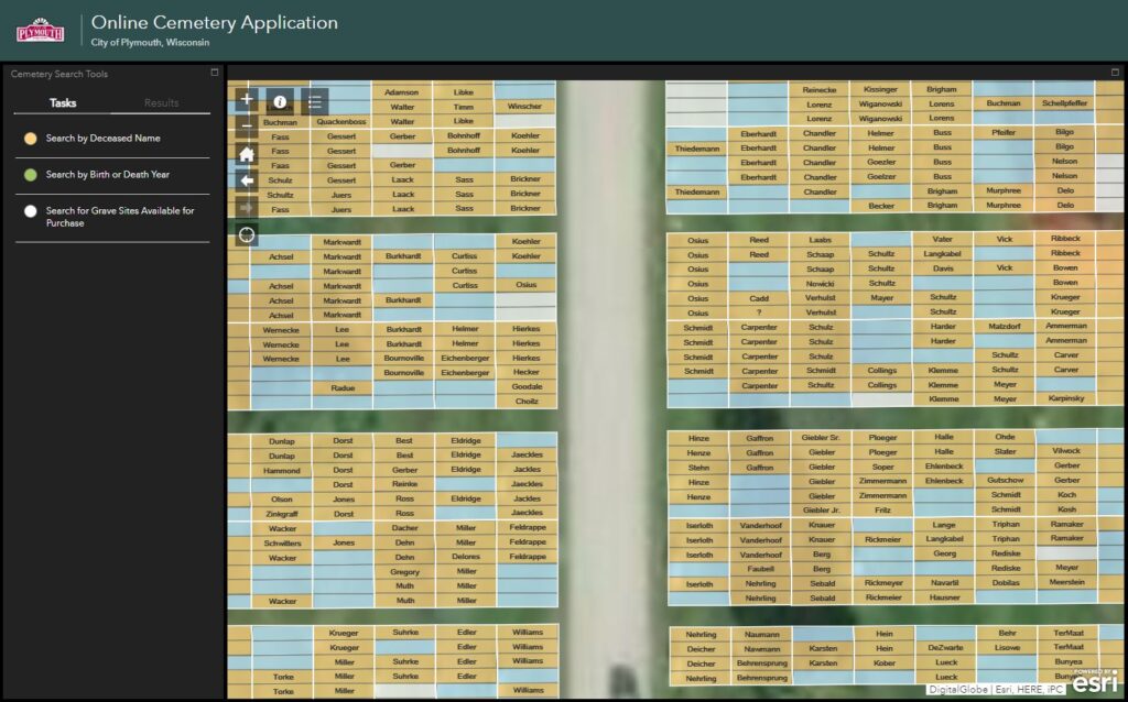
City of Plymouth Cemetery Application
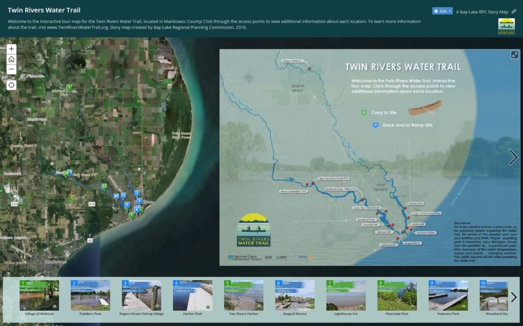
Twin Rivers Water Trail
Story Map
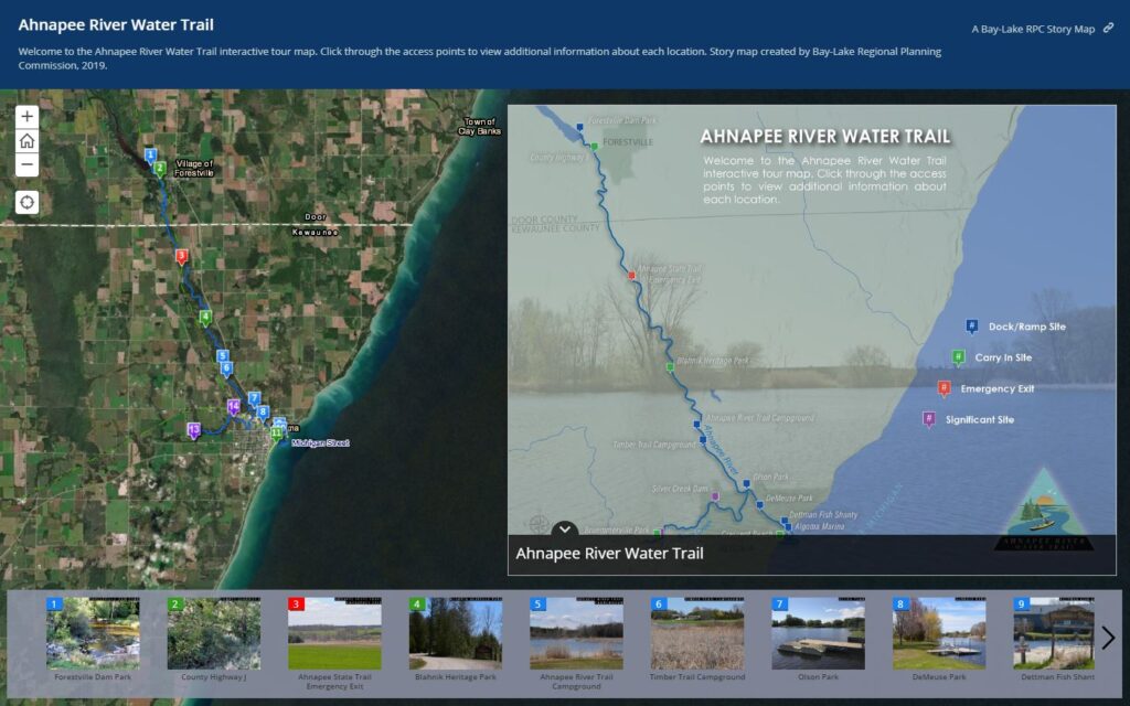
Ahnapee River Water Trail Story Map
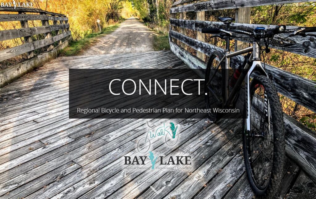
Connect. Regional Bicycle and Pedestrian Plan for Northeast Wisconsin Story Map
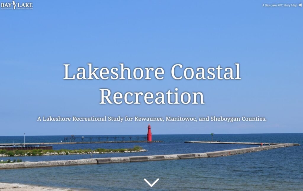
Lakeshore Coastal Recreation Study Story Map
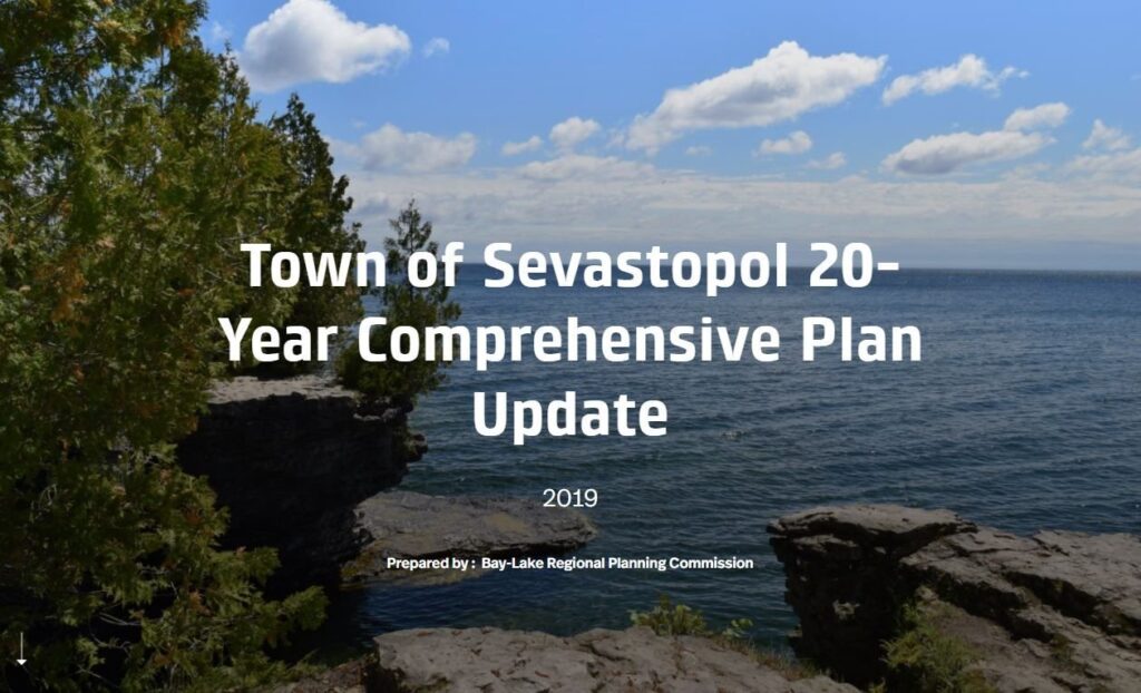
Town of Sevastopol Comprehensive Plan
Story Map
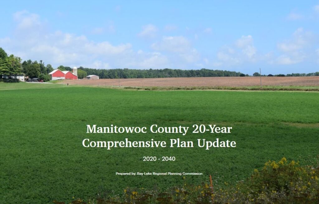
Manitowoc County 20-Year Comprehensive Plan Update Story Map
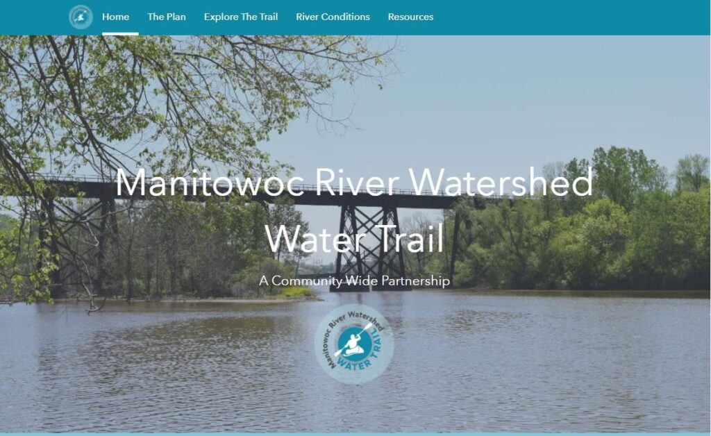
Manitowoc River Watershed Water Trail Portal
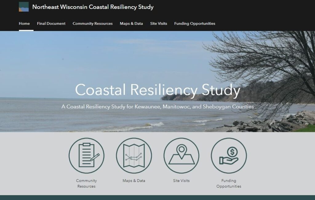
NE Wisconsin Coastal Resiliency Portal

