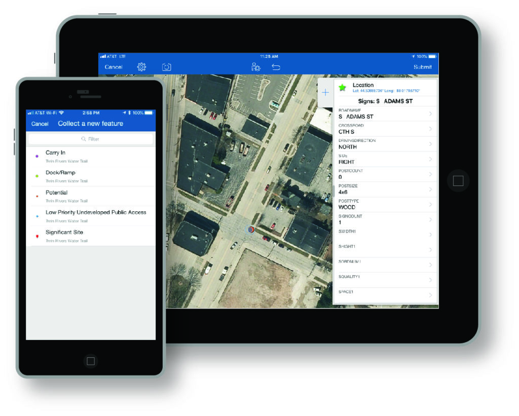
Field Collection and Management
Utilizing ArcGIS Online and associated field collection apps, the Commission provides assistance to member communities in field asset collection and management in an online GIS database. We work with communities who want a better understanding of what is in the field, the condition of the assets, and want to develop an asset management plan for the future.
Using this technology, the following are examples of assets that could be collected:
- Street Sign Inventory
- Sidewalk Location and Conditions
- Culvert Location
- Damage Assessments
- Hydrant Inspections
- Utility Location and Conditions
- Pavement Ratings
- Curb Issues