Land Use Data
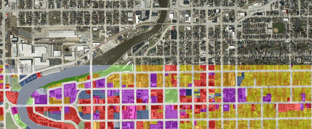
Working with the Wisconsin Sea Grant, the Bay-Lake Regional Planning Commission has made the following regional land use GIS datasets publicly accessible in a Google Earth format. The Bay-Lake Region land use dataset documents the current use of the land as of 2012 (e.g. residential, commercial, woodlands, etc.). This datasets along with detailed metadata is publicly available for download to Google Earth.
Door County 13MB
Florence County 9MB
Kewaunee County 9MB
Manitowoc County 22 MB
Marinette County
North Section 12MB
South Section 13 MB
Town of Peshtigo 2 MB
Oconto County 37 MB
Sheboygan County 21 MB
The methodology here, details the steps to creating these Google Earth datasets.
Bay-Lake RPC GIS Data Sharing Policy
This data and methodology have been made available with the generous technical assistance of the Wisconsin Sea Grant Institute and the University of Wisconsin – Madison, and a 2012 grant from the Lake Michigan Watershed Academy of the US EPA.